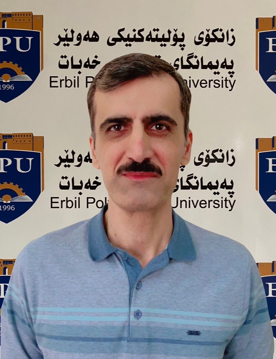
Hemn Othman Salih
هيمن عثمان صالح
Assistant professor
Khabat Technical Institute
Department of Food Security and Quality Control
E-mail
[email protected]
General Specialization
Agriculture-soil and water
Specific Specialization
soil chemistry
Address
Khabat Technical Institute , Erbil Polytechnic University, Iraq.
Researches and Books
Researches
| Research Title | Status | Files |
|---|---|---|
| SPATIAL MAPPING AND ASSESSMENT OF SOIL ERODIBILITY USING GIS IN THE MIDDLE OF ERBIL PROVINCE | Published | |
| Integrated use of USLE, GIS, and remote sensing for soil erosion mapping in Erbil Basin | Published | |
| Preliminary Study on Soil Mineral Identifification in Erbil Province | Published | |
| Spatial mapping and assessment of soil erodibility using GIS in the middle of Erbil province | Accepted for Publication |
